Skip to content
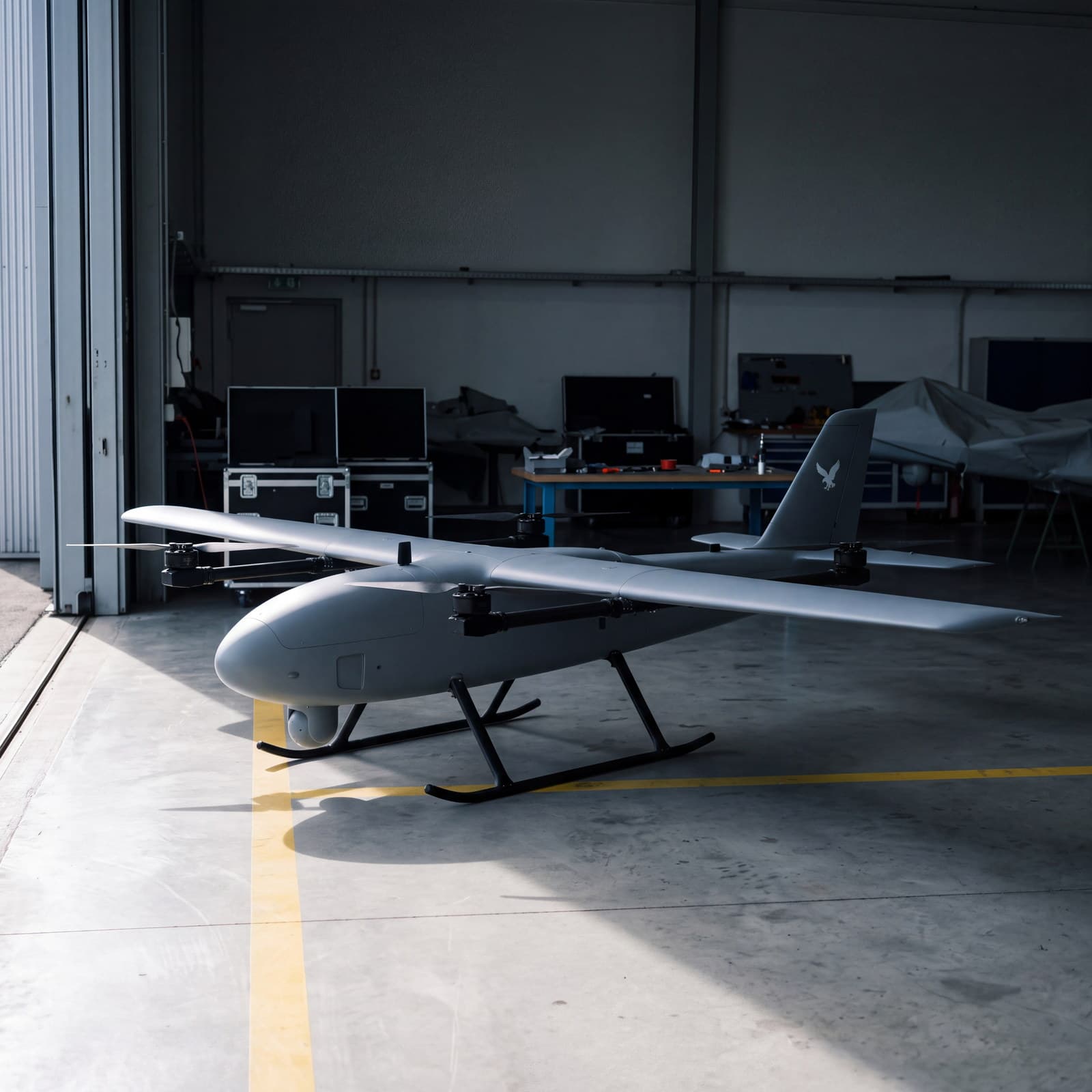
Unmanned VTOL airframe in a workshop hall

VTOL surveillance and reconnaissance platform

Raven T3

Declared endurance
Declared range
Payload
Wingspan

What it gives the operator

  • No runway needed

    The aircraft lifts vertically from a clearing, a road or a yard, and transitions to wing-borne flight once it has height. There is no launcher, no catapult and no strip to prepare.

    Launch and recovery
    vertical
    Cruise
    on the wing
  • Observation gimbal

    A stabilised multi-sensor gimbal: visible light, infrared and thermal in one housing. The channel is matched to the conditions rather than the task to the channel.

    Channels
    EO, IR, thermal
    Conditions
    day, night, reduced visibility
  • GPS/RTK navigation

    Position is computed accurately enough to repeat the same flight and compare the results of two sorties. Elements of the navigation system can be duplicated.

    Position
    GPS/RTK
    Reliability
    redundant elements
  • Multi-channel telemetry

    Three communication technologies, satellite among them. The channel is chosen for the mission, and losing one link does not end the task at long range.

    Channels
    three technologies
    Beyond radio range
    satellite link

Airframe, gimbal, payload

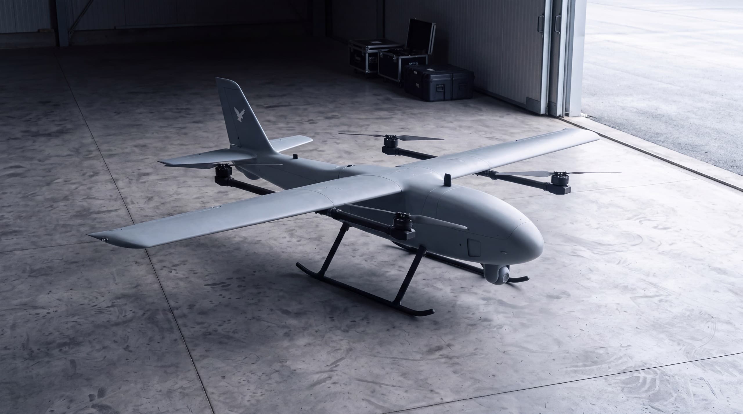
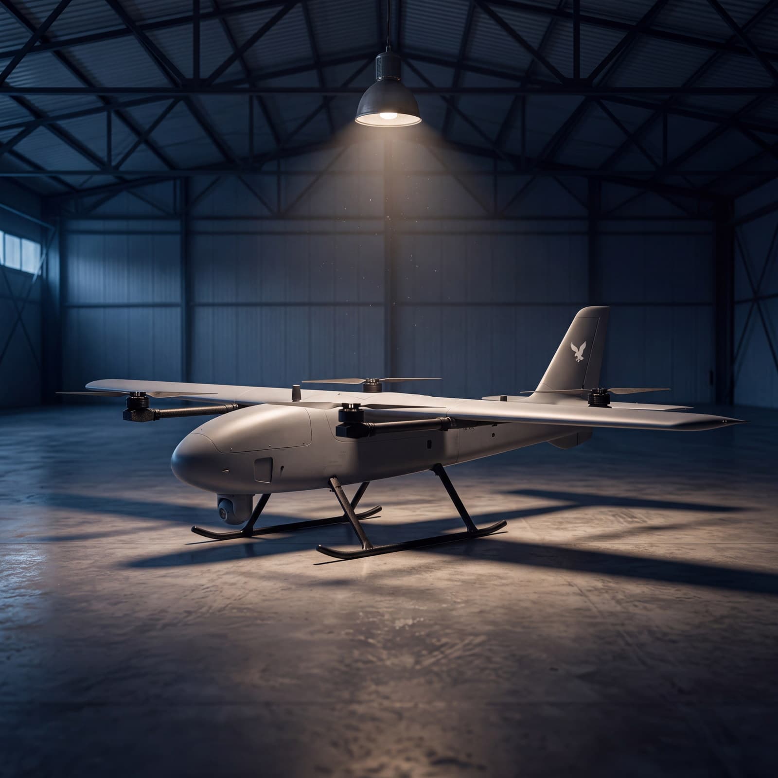
Raven T3 is a multi-role VTOL platform: it takes off and lands vertically like a multirotor and flies like an aeroplane. That combination is the point of it - operating from places with no airstrip, with endurance counted in hours rather than minutes. The configuration is set to the task: an observation gimbal, survey sensors or a LiDAR scanner on the same aircraft.

Raven T3 in a hall under a single lamp, wing and four vertical lift assemblies

Airframe

VTOL and fixed wing

Vertical take-off removes the whole launch infrastructure from the operation, and the wing gives what a multirotor cannot: hours in the air instead of minutes. The declared 230 minutes and 290 km are figures for one configuration - real performance falls with equipment mass, energy source, weather and the communication path in use. We treat them as the start of a conversation about the task, not as a guarantee.

Class
VTOL, fixed wing
Wingspan
3.2 m
Maximum take-off mass
24.9 kg
Payload
up to 5 kg
Speed
76-81 km/h cruise, up to 126 km/h
Endurance
up to 230 min, configuration dependent
Range
up to 290 km, configuration dependent
Raven T3 in a hall, observation gimbal under the forward fuselage

Observation gimbal

EO, IR, thermal

Three channels in one stabilised gimbal. Optics work by day; at night and in reduced visibility thermal pulls out the silhouettes and heat sources optics can no longer see. The operator switches channel mid-task, so one aircraft covers the whole day instead of two configurations taking turns.

Channels
EO, IR, thermal
Stabilisation
stabilised gimbal
Coverage
day and night observation
Tasks
areas, sites at a distance, heat sources
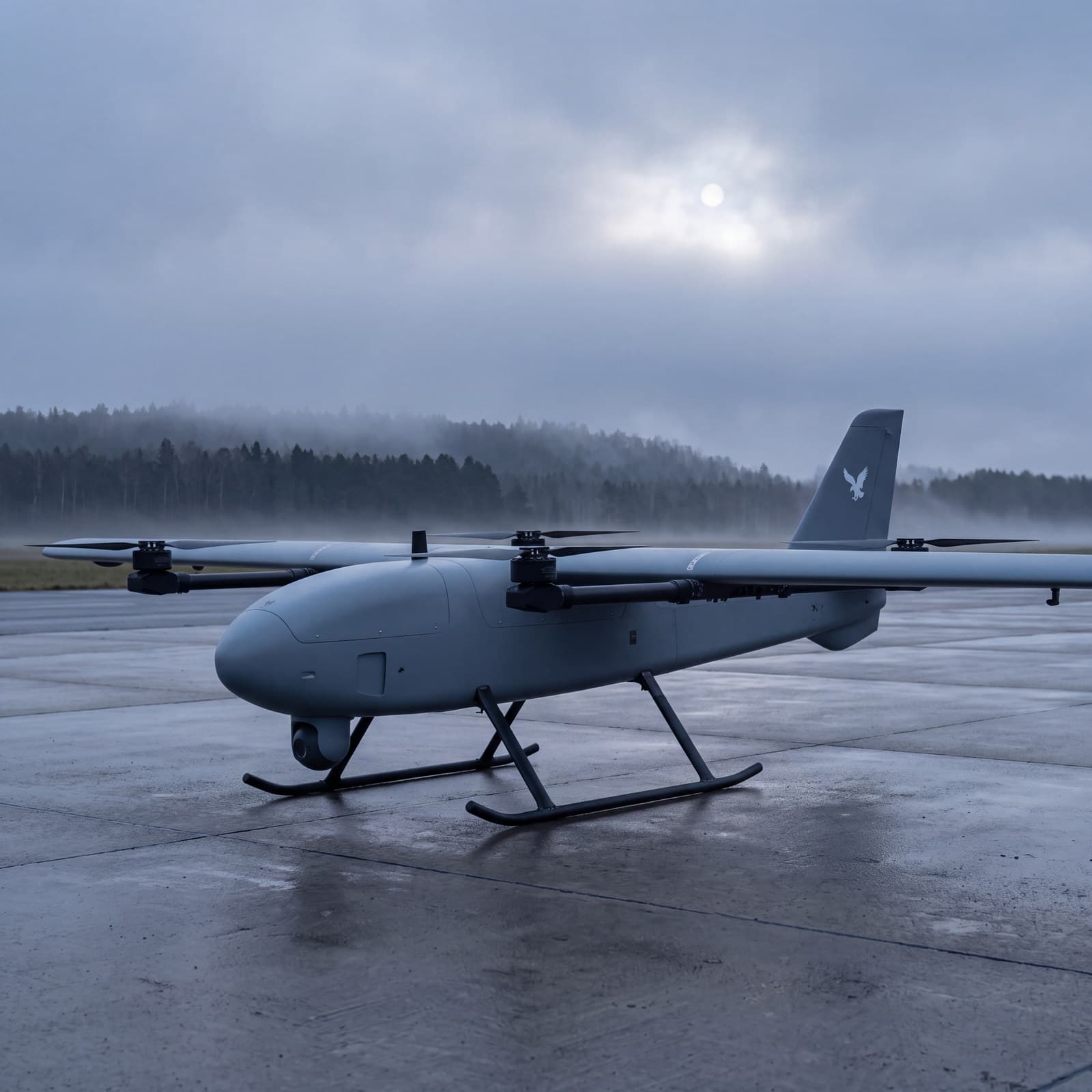
Raven T3 on a wet airfield apron at dusk, ready for launch

Interchangeable payload

One platform, many tasks

Five kilograms of lift carries equipment that usually needs an aircraft of its own: a LiDAR scanner, a photogrammetry rig, infrared sensors. Swapping the payload turns the platform from an observation asset into a survey one, and RTK navigation holds the track closely enough that two sorties flown on different days can be compared.

Payload
up to 5 kg
Sensors
LiDAR, EO/IR, photogrammetry
Navigation
GPS/RTK
Mission
planned routes, repeatable sorties

What it is sent to do

  • Area monitoring

    Sustained observation of ground a patrol cannot cover: a border strip, forest, a body of water, farmland. One sortie instead of a series of short approaches.

    Mode
    sustained observation
    Channels
    optics and thermal
  • Infrastructure inspection

    Aerial inspection of sites and of linear and area infrastructure, with material that stays for analysis after landing.

    Assets
    linear and area
    Output
    material for further analysis
  • Mapping and LiDAR

    Aerial imagery and spatial data over large areas, and with a LiDAR scanner, accurate models of terrain and structures.

    Product
    terrain and structure models
    Capture
    photogrammetry, point cloud
  • Night work and search and rescue

    Fast arrival over a large area with thermal as the primary sensor: locating people and heat sources whatever the hour.

    Sensor
    thermal and infrared
    Task
    locating people and heat sources